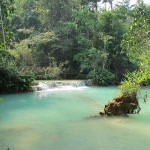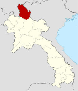
Farthest north in Laos is Phongsaly, which shares borders with Yunnan (China) and Dien Bien (Vietnam). Most of Phongsaly Province lies at a high altitude. Its capital, Phongsaly town, is the highest city in Laos PDR at 1.400 m above sea level. Up there the climate is pleasant and refreshing covering the endless mountains down to the canyon of the Nam Ou River, biggest tributary of the Mekong. The population is made up of officially 28 different ethnic groups, of which the majority being Khmu, Phounoy, different Akha, Tai Lue and Hor, each with their own culture, traditions, costumes, and languages. The forests contain an abundance of animal, bird, insect and plant life, and there are certainly many undiscovered species, new to science. Several trekking tours have been established by the Provincial Tourism Office Phongsaly.
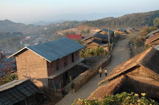
Most visitors of Phongsaly Province get a feeling of “no longer being in Laos, not yet having reached China”. History tells fascinating stories, though much of it still lies in darkness. Between China and Laos the territory of north-western Phongsaly and southern Yunnan once was the independent Tai Lue kingdom of Sipsongpanna. In 1895 the French colonialists drew new boundaries along the watersheds of the Nam Ou river, claiming Sipsongpanna’s eastern part to Phongsaly incorporating it into French Indochina. Its bigger part went into Yunnan Province, China.
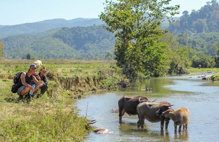
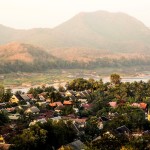
Unless many other cities in Laos, Phongsaly Town has not been destroyed in the American war. It features a remaining old quarter with Yunnanese wooden architecture now rare to find in Yunnan itself. Most of the people living here belong to the Hor ethnic group, speaking Chinese. Until the 1970s there has been a Chinese consulate in Phongsaly Town, now the “Phou Fa Hotel”. In the “Museum of Ethnic Groups in Phongsaly Province” you can admire the various local cloths, artifacts and handicrafts. The town itself is surrounded by rolling hills and is built into the side of Phou Fa Mountain (1,625m). The 45 minute hike up to its stupa on top offers spectacular views of the town from above and the mountains in the far distance.
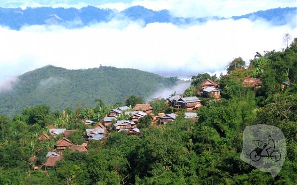
Although a bit off the main tourist circuit, visitors can spend plenty of time in Phongsaly Province trekking to remote villages around the provincial, Boun Neua, Muang Khua at the Nam Ou River and in Boun Tai District’s “Nam Lan Conservation Area”. In the northern most district of the country, Gnot Ou, visit Wat Luang, a magnificent Tai Lue style Buddhist monastery dating back to 1445 AD. In the future “Phou Den Din National Protected Area” along the border with Vietnam will be opened for boat trips. Wild animals like monkeys, elephants and tigers still claim it their territory!
The province offers a delicious variety of Lao and Yunnanese cuisine that consists of wild forest ingredients such as fragrant herbs, bamboo and rattan shoots. After dinner try a shot of the local Lao Lao, smooth, strong and tinted green! During the final stage of the distillation process this rice whisky is running over fresh picked raspberry leaves absorbing the green color.
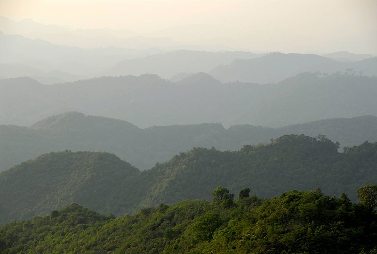
Chinese-style green tea of Phongsaly receives worldwide recognition for its highest quality and superb taste. Tea leaves are picked by Phounoy minority women from up to 400 year old tea trees, standing 6m high with a stem up to 30cm in diameter. These precious tea leaves are compressed in bamboo cylinders and sold in cigar-shaped tubes. In this wild tea grove fertilizers and chemicals have never been used. Drinking a daily cup keeps the body in good health, reduces fat and preserves a clear mind.
HIGHLIGHTS IN PHONGSALY
Phou Den Din NBCA
The large and very remote Phou Den Din NBCA is accessible most easily by small boat up the Nam Ou river. The trip only for most adventurous: You must be well prepared, and take food, light camping equipement and a guide which can be arranged from Phongsaly Town. You are in the remotest part of Southeast Asia in the most undisturbed areas of forest.
The Nam Lan Conservation Area (NLCA)
Covers 22,000 ha of mostly densely forested, very steep terrain, at between 600 metres and 1,850 metres elevation. Picturesque villages, mostly growing lowland irrigated paddy flank part of the northern and eastern boundaries of the area. Ecotourism lodges are being set up in five of these villages. The attractive little town of Boun Tai is a good base for visiting the NLCA.
Good Base for Trekking
Easy trekking along the ridge lines to the Northeast and Southeast, or more vigourous treks along the Jurassic escarpment (about 30km to the west of Phongsaly on the Boun Neua road), or along the foot of the escarpment (km 37, take off to the south through forest and paddy fields on the new Nam Boun Kao trail).
Ou River
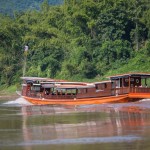
Ou River, situated between Phongsaly downstream to Pak Ou in Luang Prabang, has wonderful scenery on both sides of the river. Nong khiaw is also a beautiful stopover along the way good for camping on the sandy beach of the river.


